
Local climate change projections
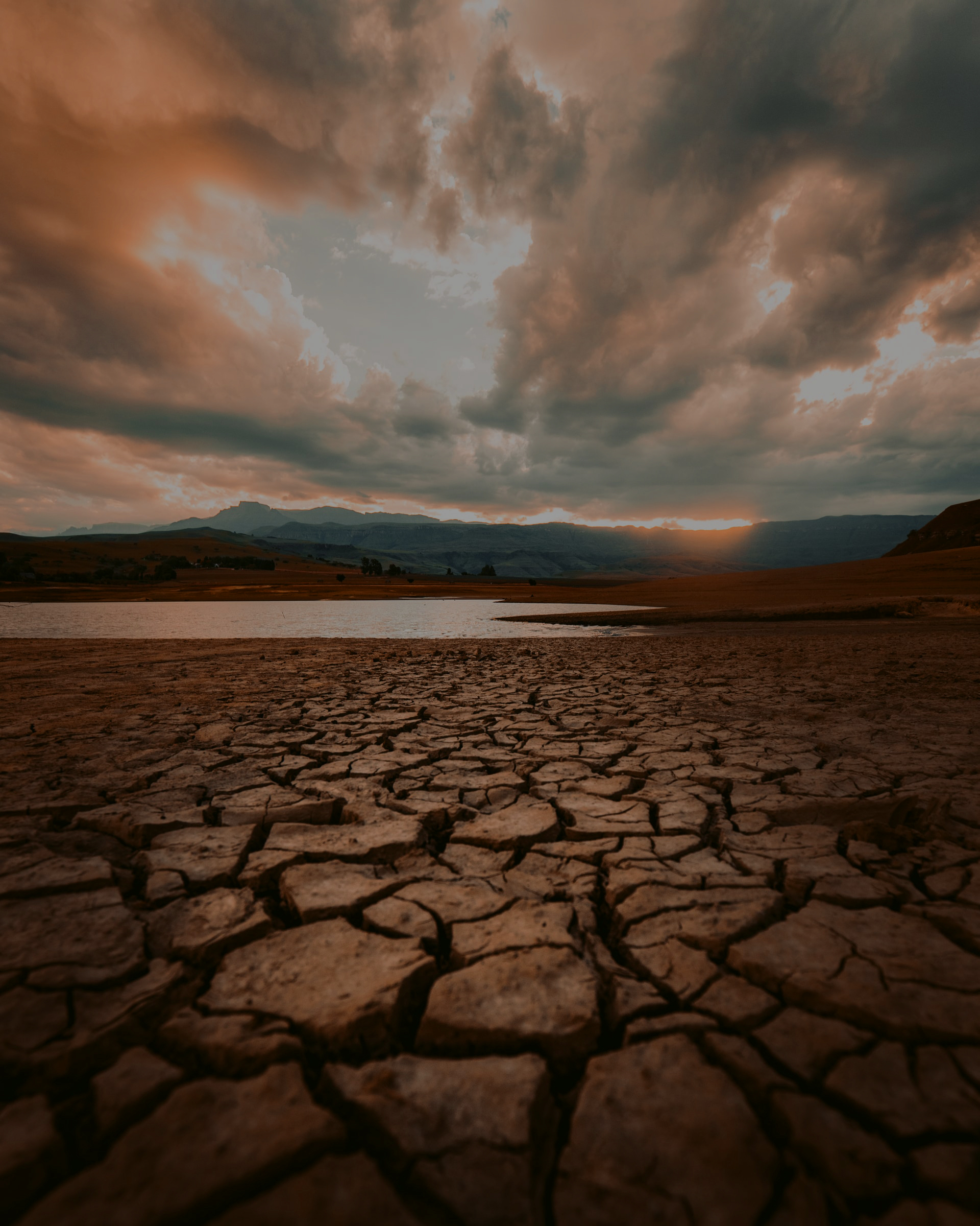
We design tools to simulate expected changes in future climate and assess how they may affect us through risk and vulnerability analysis.
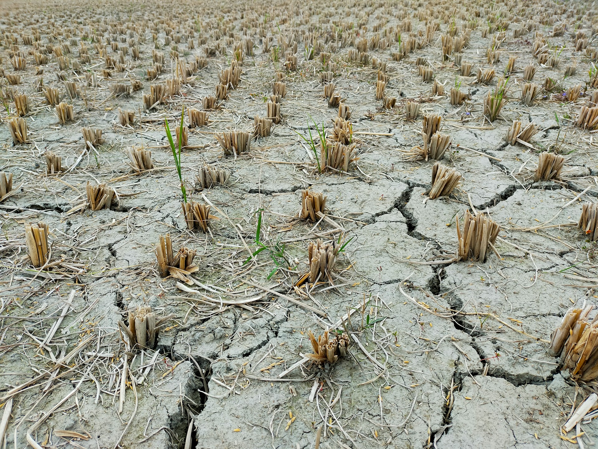
The objective of the project has been the generation of future projections for the entire 21st century of a series of climate indicators and bioclimatic diagrams for the Júcar and Segura Hydrographic Basins. The analysis of these projections will make it possible to identify the possible impacts of Climate Change, as well as to define measures for adapting to it.
The project is one of those carried out in 2019 in the framework of the “subsidies to third sector entities or non-governmental organizations that develop activities of general interest considered of social interest in the field of scientific and technical research of an environmental nature” by the Ministry for Ecological Transition.
Activity 1. Data collection of meteorological and environmental variables and quality control. In this activity, temperature, precipitation, humidity and wind data are collected in the study areas. These data are obtained from the meteorological observatories of the State Meteorological Agency (AEMet), as well as from other public networks of stations, such as SAIH or AVAMET. Other types of variables that may be necessary for the calculation of bioclimatic indices, such as soil type, climate classification or average solar radiation, will also be obtained from other sources such as NASA, IGN (National Geographic Institute) or CORINE (2019). A detailed quality control process is applied to the meteorological data, since errors in these data could invalidate the climate simulations used. Therefore, before using the data, they are subjected to a process of homogenization and filtering of inconsistencies to ensure a correct historical series.
Activity 2. Bibliographic review of indicators and diagrams suitable for the evaluation of future climate changes. In this activity we will proceed to the search of all types of bibliographic material of interest for the Project in order to compile the knowledge that could be useful for its application as well as to help in the listing of the bioclimatic indexes of interest.
Activity 3. Projection of climate scenarios for the next decades for temperature, precipitation, humidity and wind. In this activity, future climate projections are made on a local scale for the different meteorological variables collected in the study watersheds. For this purpose, all those stations that have passed the previous quality tests will be used to generate future climate scenarios based on several RCPs (scenarios of future Greenhouse Gas concentrations) and the Climate Models used for the Fifth Assessment Report of the IPCC (CMIP5) (Taylor et al., 2012).
These projections will have local and daily detail, and will be generated based on the FICLIMA methodology (Ribalaygua et al., 2013), specific to the FIC.
Activity 4. Calculation and projection of Bioclimatic Indices. Based on the local climate scenarios obtained in Activity 3, all the Indices of interest identified in Activity 2 will be calculated and projected accordingly for the entire 21st century.
Activity 5. Interpolation of results and public dissemination of results. All future projections obtained for the Bioclimatic Indices at local scale (on those valid stations identified), will be interpolated on a high resolution grid for different time horizons of the XXI century. The results obtained will be in the form of highly detailed maps of the study watersheds. These results will be made available for permanent public consultation and use to expand knowledge in future studies of the area.
We design tools to simulate expected changes in future climate and assess how they may affect us through risk and vulnerability analysis.
